Pavel SamanOverpass QL IntroOpenStreetMap is probably something I don’t need to introduce much. It’s a map service everyone can contribute to. However, Overpass QL is…Apr 20, 2022Apr 20, 2022
András HannUnderstanding Overpass, the API of OpenStreetMapIf you want to use spatial data from OpenStreetMap, one way to get it is via Overpass, a read-only API of the OpenStreetMap database…Jan 16, 2020Jan 16, 2020
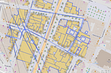
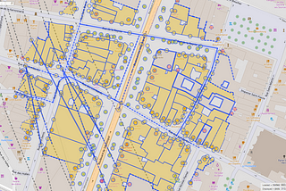
Mateusz WizaHow to Count the Number of Buildings in an Area by Category using OpenStreetMap API?How many shops are there in the area? What’s the number of restaurants in 250 meters radius from here? Are there any office buildings…Jun 26, 2021Jun 26, 2021
Ramya RagupathyData extraction using OverpassI’ve already been documenting on Overpass tool in Mapbox’s Github repo. Beginning the series here in my personal page for people who have…Nov 20, 20181Nov 20, 20181
Charlotte MLet’s make some vector maps!July 2018 Update: A previous version of this article included a workflow that relied heavily on downloads from Mapzen Metro Extracts…Sep 9, 2017Sep 9, 2017